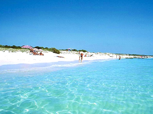
Es Trenc Beach & Natural Park
Es Trenc beach is situated at 6,5 kilometres from Colònia de Sant Jordi. The name (“ravine” in English) comes from the opening of the saline area that divides the coastal barrier of dunes, whereas the oral tradition tells that in the middle of the 18th century a tsunami came after the earthquake of Lisbon, which divided the dune cord between the open sea and the wetland.
“This beach is the last big sandy areas which is still unspoilt and well preserved in Majorca”
Es Trenc has white, fine-grained sand, gentle slope, nudist area”, and a system of dunes that separates the beach from the saline area and the agricultural land, and also a wetland with 171 species of migration and sedentary avifauna. The water is open to south-southwest-west- and northwest and is transparent.
“It is a protected area of 1492 hectares. It is one of the virgin places that are most crowded during the summer weekends”
The ground is sandy, with some stony areas and seaweed at a depth of four metres. The navigators are recommended to stay away from the beach, because there is a flagstone of half a metre which can’t be seen if the weather is bad. The best place for anchoring is the old jetty next to s’Illa Gavina (the biggest island of the municipality of Campos with a prehistoric cave used by smugglers and which can be reached from sa Barraca de sa Cenra), but if the wind blows from the west the best option is Platja d’es Coto. The nearest port facilities are located at Port Colònia de Sant Jordi, at three nautical miles.

Deja un comentario